

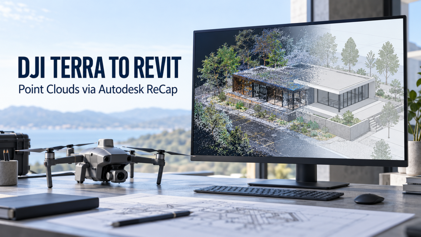
DRONE SURVEY TO BIM WORKFLOW
DJI Terra to Revit: bring your point cloud into a coordinated BIM project
DJI Terra can produce a point cloud that becomes a reference for building and site modeling in Revit. The practical route covered here is LAS export from DJI Terra, indexing in Autodesk ReCap, then linking an RCP or RCS file in Revit.
Plan for two deliverables: a validated survey point cloud and a separately authored BIM model. Linking the cloud gives the modeling team a reference; it does not automatically create Revit walls, roofs or other building elements.
This guide explains the DJI Terra to Revit workflow for surveyors, architects and construction teams. It covers file formats, export preparation, ReCap indexing, coordinate coordination and checks before modeling begins.
Prepared by the Drone Emotions team. Official DJI and Autodesk documentation checked on 7 October 2026. Interface labels and available tools can vary with the installed software release.
DJI Terra point cloud export: LAS, RCP and RCS explained
Start with the type of result required. A point cloud consists of sampled 3D points. A textured mesh represents surfaces. Both can describe a site, but they are different deliverables with different downstream workflows.
DJI lists LAS as a Terra point cloud output. Autodesk lists LAS among ReCap’s supported imports, while Revit’s point cloud link accepts indexed RCP and RCS files. This gives the workflow a clear format bridge.
| File | Role | Practical consideration |
|---|---|---|
| LAS | Point cloud exported from Terra and imported into ReCap. | Keep the survey reference and quality information with the data. |
| RCS | Indexed point cloud data used by Autodesk applications. | Verify the indexed result before linking it in Revit. |
| RCP | ReCap project referencing indexed scan files. | Deliver the referenced files and supporting folder structure too. |
| OBJ or another mesh output | A separate surface-model deliverable. | It does not replace the LAS input in this point cloud workflow. |
Check DJI’s output format documentation and Autodesk’s supported ReCap formats. Our DJI Terra outputs guide explains the wider range of survey deliverables.
Before processing: agree the survey-to-BIM handover
Decide what the modeler needs before collecting or exporting data. “A Revit-compatible point cloud” defines a file workflow, but says little about whether the surveyed features are sufficient for the job.
- Scope: terrain, roof geometry, external façades, site structures or another defined requirement.
- Coverage: surfaces that must be observed, including gaps that require additional acquisition.
- Reference: horizontal coordinate system, height reference, units and site orientation.
- Acceptance: tolerances, validation points and required quality evidence.
- Modeling: elements to author, level of detail and who approves the interpretation.
For a building and its surrounding site, list the required features individually. Confirm that each can be observed in the proposed acquisition; do not assume that a visually complete aerial model documents interiors or hidden surfaces.
Review our supported drones and sensors guide when defining the acquisition workflow. Photogrammetry and LiDAR should be assessed against the project requirements rather than selected solely by file format.
Step 1: process, validate and export the point cloud in Terra
Complete the appropriate reconstruction or LiDAR processing mission. Review the result in Terra before passing it to another application: incomplete coverage or incorrect survey coordinates remain problems after indexing.
- Select the processing workflow appropriate to the source data.
- Confirm the intended output coordinate reference and elevation settings.
- Review coverage and the quality evidence relevant to the mission.
- Select LAS point cloud output where available for that workflow.
- Retain the complete exported dataset, including multiple LAS files when produced.
- Package the coordinate information and quality record with the survey handover.
Use our Terra quality report guide and accuracy, GCP and RTK guide to plan the checks. A successful export is not evidence that the survey meets the client’s tolerance.
For a Zenmuse L2 project, our Terra and Zenmuse L2 workflow guide covers the upstream processing context.
Step 2: import and index LAS in Autodesk ReCap
Create a ReCap point cloud or scan project and import the Terra LAS output. Here, ReCap is indexing an existing cloud for Autodesk use; you are not asking it to reconstruct the original drone photographs again.
Review import settings before finalizing the project. Autodesk documents filtering, decimation, coordinate-system and orientation controls in ReCap Scan Settings.
- Check the full area and all required exported files are included.
- Confirm the coordinate reference rather than assigning an unfamiliar system by guesswork.
- Check orientation and a known dimension before accepting the result.
- Use filtering or decimation only when the resulting density remains suitable for the modeling requirement.
- Inspect color or other attributes needed by the recipient instead of assuming every source attribute transfers identically.
Allow indexing to finish, inspect the result and save the project. Autodesk explains that the RCP references indexed data rather than containing all of it in its reality capture process guide.
Confirm the ReCap edition, available tools and Autodesk licensing separately. A DJI Terra license does not supply the Autodesk software required for this stage.
Step 3: coordinate units, origins and survey positioning
This is the most important coordination step. Autodesk states that Revit does not use the GIS coordinate system set in the ReCap RCP file to position the linked cloud. Merely selecting the same coordinate-system label is therefore insufficient.
Read Autodesk’s point cloud alignment guidance before changing origins or moving a misaligned link.
Agree the reference with the BIM coordinator
Record how the survey coordinates relate to the model’s local reference. Identify a known horizontal position, elevation and orientation, then establish the project coordination method with the person responsible for the Revit model.
Large survey coordinates require deliberate handling of the model’s internal origin. If a local offset or transformation is used, document it and retain the relationship to the original survey. Avoid independently centering each cloud: the files can look convenient individually while losing their common position.
Autodesk’s shared coordinates guidance explains how linked project files establish and maintain their relative positions.
Check scale and heights independently
Measure a known distance and verify a known elevation at each handover. A display-unit preference is not proof that the underlying coordinates have been converted correctly. ReCap’s documentation distinguishes display units from the internal metric coordinates of RCS files.
A correct horizontal position does not establish a correct height reference. Keep the vertical datum or local height convention explicit, including any agreed offset.
Step 4: link the RCP or RCS file in Revit
Open the destination Revit project, use Insert → Point Cloud, then choose the indexed RCP or RCS file. Select the positioning method agreed for the project and inspect the result.
Autodesk’s point cloud insertion instructions describe the positioning choices:
- Shared coordinates: appropriate when the cloud and model have an established common reference.
- Origin-based positioning: appropriate when the relationship between the file origin and model origin is understood.
- Center to center: can assist visual inspection, but does not establish surveyed positioning.
Labels may differ by release. Choose by the intended coordinate relationship, not simply by which option makes the cloud appear nearest the building.
After a validated placement, record the method and any transformation. If the cloud is later reprocessed, check the replacement against the same reference before continuing model development.
Step 5: validate the point cloud in Revit
Run a short acceptance check before creating geometry. Use several distributed, identifiable locations so that a local match does not hide a rotation or scale discrepancy elsewhere.
- Position: compare known locations with the agreed site reference.
- Orientation: check building axes or another documented direction.
- Scale: compare a known distance.
- Elevation: inspect known levels in section or elevation views.
- Coverage: inspect every feature included in the modeling scope.
- Links: confirm the indexed files remain accessible after reopening.
Document the deviations against project tolerances. If a mismatch appears, identify whether it began in Terra, ReCap or Revit before making a correction.
As a practical handover test, ask the recipient to open the delivered package on another workstation. This can expose missing referenced files and assumptions about local storage paths.
What happens after the cloud is linked?
Revit treats the point cloud as a linked reference. Autodesk describes using plans, sections, section boxes and point-cloud snapping to support geometry creation in its point cloud documentation.
The modeler interprets that evidence to author the specified elements. A measured roof surface does not establish hidden construction layers. A tree canopy does not automatically define the terrain below it. Mark unobserved or uncertain features instead of presenting assumptions as measurements.
For terrain work, agree the required ground representation and modeling method separately. For building work, agree which structural or architectural elements must be authored and how they will be checked.
Review the model against the cloud and survey acceptance criteria. More detail is useful only when the observations and project specification support it.
Common DJI Terra to Revit problems
Revit does not offer LAS in the point cloud link dialog
Use the indexing stage in ReCap and supply RCP or RCS for the documented Revit point cloud workflow. Renaming a LAS extension does not convert the data.
The cloud is shifted, rotated or far from the building
Check the origin relationship, placement method and project reference. Follow Autodesk’s alignment guidance and compare known points before moving the link manually.
The size or elevation looks wrong
Check a known dimension, the recorded units and the vertical reference. Do not use visual fit as the acceptance test.
The RCP opens on your computer but not the recipient’s
Check the referenced indexed files and supporting folders. Delivering the RCP alone can leave the recipient without the actual point data.
The cloud looks sparse or required surfaces are missing
Compare the Terra output with the indexed cloud to establish where the gap arose. Review acquisition coverage and any import filtering or decimation. Our Terra reconstruction troubleshooting guide addresses upstream processing issues.
Navigation is too slow for modeling
Review the required density and working area rather than reducing the entire dataset indiscriminately. Autodesk recommends local point cloud copies for worksharing performance; preserve consistent paths and the validated reference. Check our Terra workstation guide for the upstream processing machine, and Autodesk’s requirements for ReCap and Revit separately.
Final handover checklist
- Original LAS output and available survey metadata.
- RCP project with all required indexed files and supporting folders, or the agreed RCS deliverable.
- Horizontal reference, height reference, units and any transformation.
- Quality evidence, validation results and known coverage gaps.
- Software versions, export settings and dataset revision.
- Placement instructions and successful recipient opening test.
DJI Terra to Revit FAQ
Can DJI Terra export directly to a native Revit BIM model?
The workflow described here supplies a survey point cloud as a reference. ReCap indexing and Revit linking do not automatically author native building elements.
Which Terra format should I choose for ReCap?
LAS is the documented bridge used in this guide. Check that the chosen Terra mission produces the required point cloud output, then validate the ReCap import.
Do I need both RCP and RCS files?
An RCP project references indexed scan files, which must remain available. A separately exported RCS can be the agreed deliverable, but check its content and coordinate handling before handover.
Will the EPSG setting in ReCap position everything correctly in Revit?
Autodesk warns that Revit does not use that GIS setting for point cloud placement. Establish the project reference and verify position, orientation and elevation.
Can drone LiDAR data support a Revit project?
A processed point cloud can provide a reference when it captures the required features and meets the survey specification. File compatibility alone does not establish that the data are sufficient for the intended model.
Which DJI Terra license should I buy?
Select the license against the sensor, processing task and required outputs. Revit compatibility does not by itself determine the Terra edition. Start with our license guide and the exact workflow you intend to run.
Plan the Terra stage around your BIM deliverable
Tell us your sensor, required point cloud output and intended modeling scope. We can help assess the Terra processing and licensing requirements for the proposed workflow.
Official references
- DJI Terra reconstruction output formats.
- Autodesk ReCap supported formats.
- ReCap scan and import settings.
- Linking a point cloud in Revit.
- Autodesk point cloud alignment troubleshooting.
This independent guide is published by Drone Emotions, the business behind djiterrasoftware.com. DJI Terra, Autodesk ReCap and Revit are separate products; consult their applicable documentation and license terms.


