

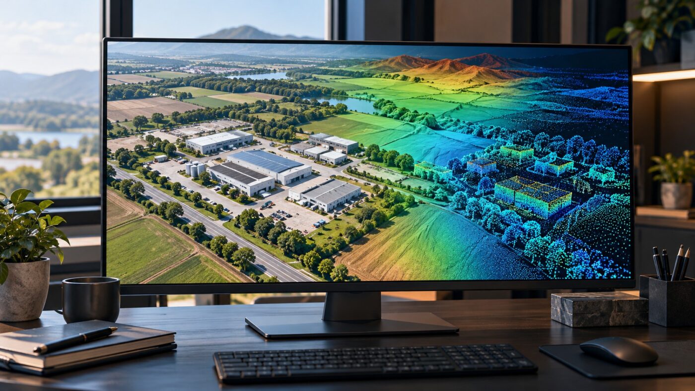
Bring DJI Terra orthomosaics, elevation rasters and LAS point clouds into ArcGIS Pro, with practical import steps, coordinate checks and handover guidance.
Tag Archives: Point Cloud Workflows
DJI Terra point cloud processing, LiDAR workflows, output formats and Revit integration.
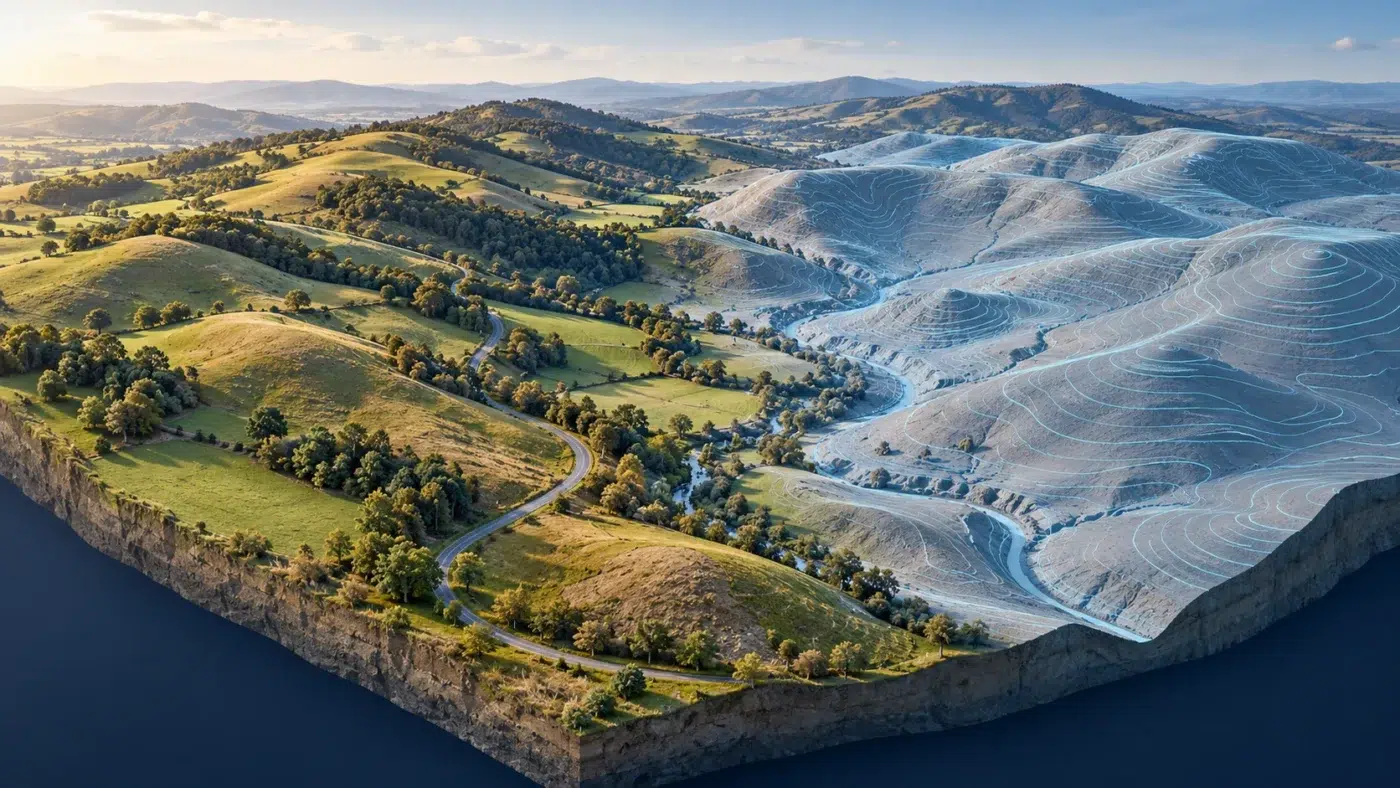
Create contour lines from DJI Terra elevation data with a practical guide to ground classification, contour intervals, QGIS extraction and GIS/CAD handover.
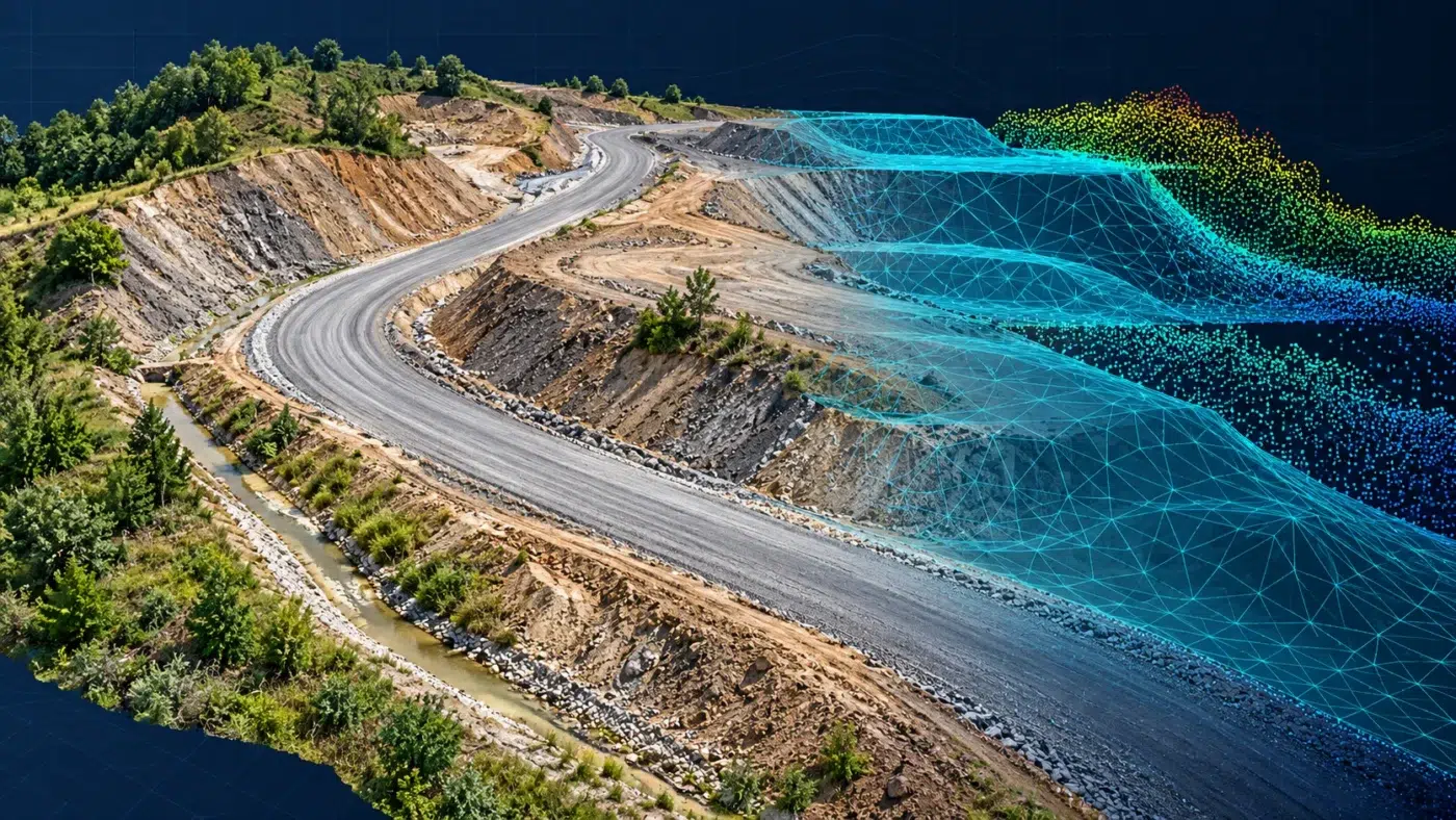
Bring DJI Terra point clouds into AutoCAD Civil 3D through ReCap, then create and check a terrain surface with a practical handover checklist.
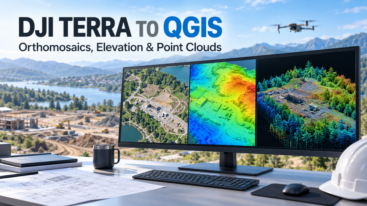
Learn how to import DJI Terra orthomosaics, DSM rasters and LAS point clouds into QGIS, with coordinate checks and practical troubleshooting tips.
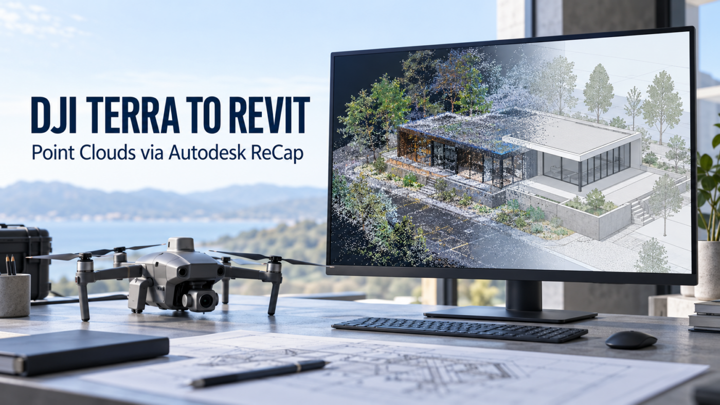
A practical DJI Terra to Revit workflow covering LAS export, ReCap indexing, RCP and RCS files, coordinate checks and a reliable BIM handover.
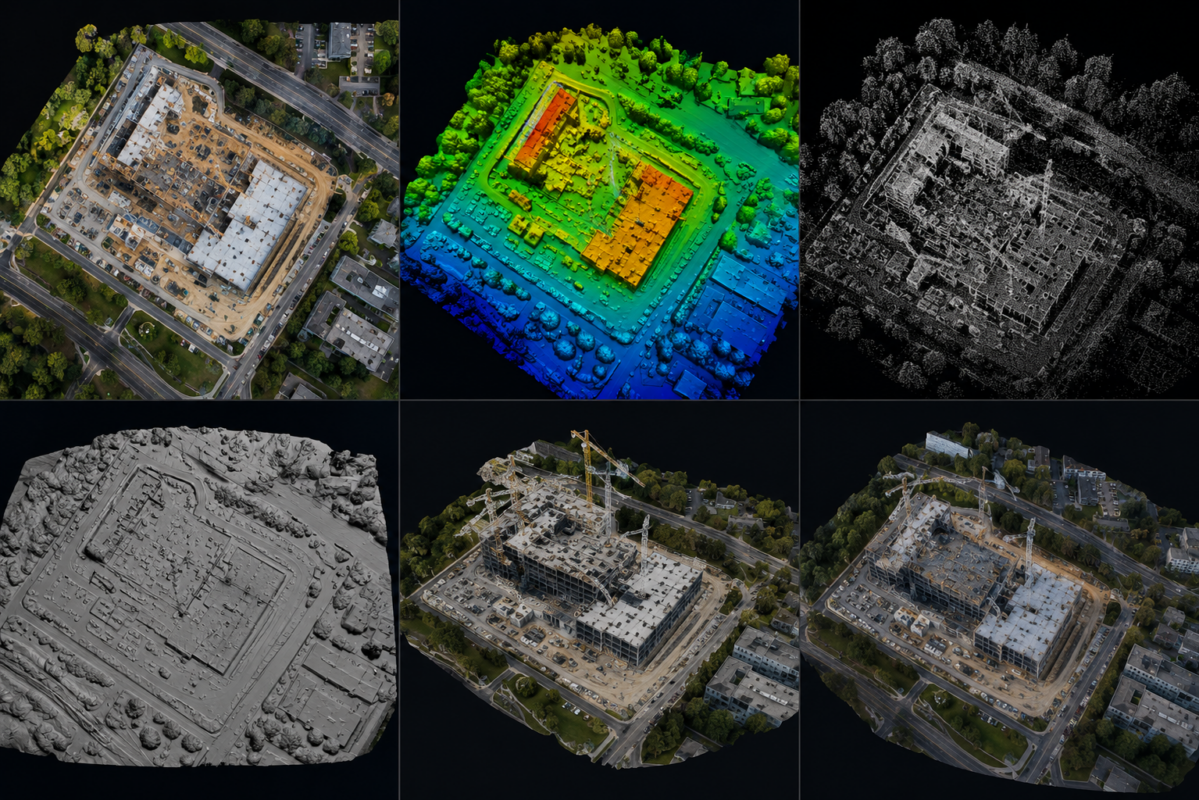
DJI Terra can generate several different outputs from drone imagery and LiDAR data, but many new users are not always sure what each output actually means. Terms like orthomosaic, DSM, DEM, point cloud, mesh and 3D model are often used together, but they are not the same thing. Each output has a different purpose, format,
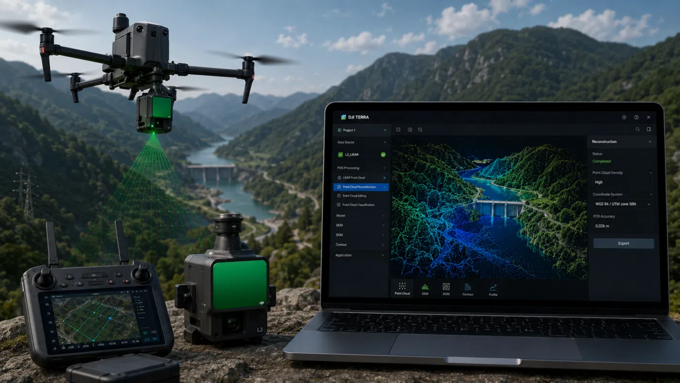
DJI Terra and Zenmuse L2 create one of the most practical LiDAR workflows available for drone surveying professionals. For surveyors, engineers, construction companies, forestry teams, mining operators and infrastructure inspection specialists, the combination of a DJI Enterprise drone, Zenmuse L2 and DJI Terra can transform aerial data capture into a complete 3D point cloud processing