

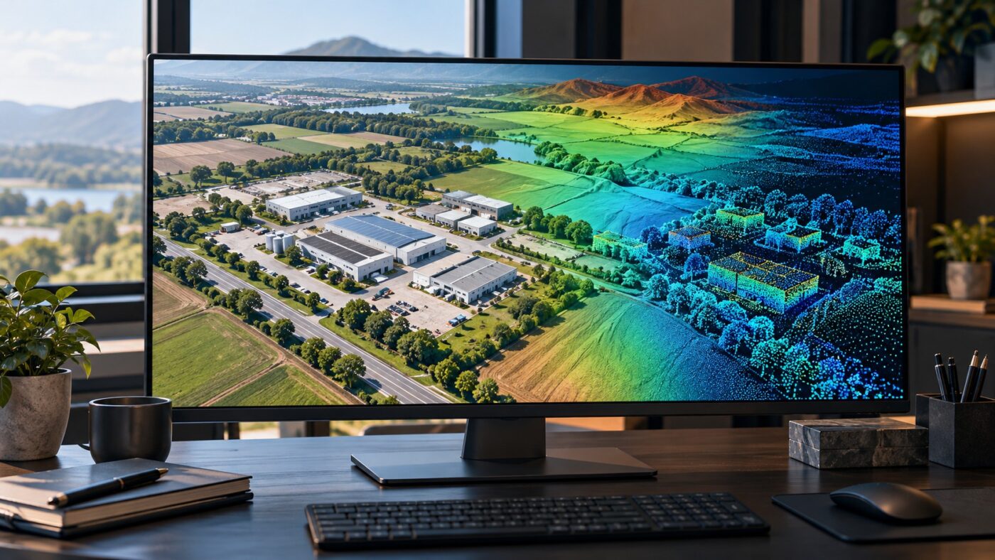
GIS IMPORT & SURVEY DATA HANDOVER
Move the right Terra output into your GIS project
A DJI Terra to ArcGIS Pro workflow connects drone reconstruction with a GIS project that already contains boundaries, infrastructure and other spatial information. The useful starting point is a suitable output file with a known coordinate reference, not a screenshot of the reconstruction.
This guide covers orthomosaic GeoTIFFs, elevation rasters and LAS point clouds. It explains how to prepare the export, add it to ArcGIS Pro, check its position and height, and keep the delivery package usable when files move between computers.
Choose the Terra output around the ArcGIS task
Terra performs the supported reconstruction. ArcGIS Pro then displays, organizes or analyzes the exported result. These are separate applications with separate licensing and task requirements; purchasing Terra does not supply an ArcGIS entitlement.
| Required use | Terra output to consider | First check in ArcGIS Pro |
|---|---|---|
| Site imagery or a survey backdrop | Georeferenced orthomosaic in TIFF/GeoTIFF format. | Position, band display, seams and NoData. |
| Surface elevation review | An appropriate numeric elevation raster. | Height units, vertical reference and surface meaning. |
| Point-level 3D inspection | LAS point cloud files. | Spatial reference, point attributes and coverage. |
| Bare-earth terrain analysis | Validated terrain output from an appropriate ground workflow. | Ground selection, gaps and interpolation. |
Our DJI Terra outputs guide explains the difference between maps, surface models, point clouds and meshes. An attractive textured model is not automatically the best input for a numeric GIS analysis.
For the route described here, retain the actual raster or LAS files. Other model formats require their own supported import or conversion workflow; renaming a file extension does not convert its contents.
Prepare an export that the receiving team can identify
Before exporting, agree the area, output type, coordinate system, resolution or detail, and required review records. Check that the Terra task and edition support the selected product. Keep an unchanged copy of the accepted reconstruction and record any later conversion separately.
- Use descriptive filenames that include the site, capture date and revision.
- Keep all exported tiles or blocks needed to cover the delivery area.
- Record the horizontal coordinate reference and coordinate units.
- Document the height reference and units for elevation or point cloud data.
- Include the quality report and any independent acceptance checks.
- Describe areas with missing coverage or unsuitable data.
Consult official DJI Terra documentation for the installed release’s output options. Use our coordinate systems and height guide when preparing the reference note.
A file name does not define the coordinate reference
A label such as “UTM” is incomplete. Record the zone, hemisphere and datum or the complete coordinate-system identifier. Describe the vertical reference separately instead of assuming that a horizontal EPSG code explains the heights.
Add a DJI Terra orthomosaic GeoTIFF to ArcGIS Pro
Esri lists TIFF with GeoTIFF tags and BigTIFF among the supported raster formats. A successful file import still needs a review of location, extent and appearance.
- Open the intended ArcGIS Pro project and map.
- Use the Map tab’s Add Data command, or browse to the exported raster through the Catalog pane.
- Add the orthomosaic TIFF and zoom to its extent.
- Inspect its spatial reference, cell size, bands and extent in the layer or dataset properties.
- Display the imagery alongside suitable project reference data.
- Inspect multiple parts of the site, including boundaries and joins between tiles.
- Record any mismatch before undertaking measurements or digitizing.
Choose imagery display settings appropriate to the actual bands. A monochrome display or unusual colors may be a rendering issue rather than a damaged reconstruction. Large files can also take time to draw; distinguish slow display from missing data.
Do not use a general web basemap as the sole accuracy test. Its imagery may have a different acquisition date, positional quality or processing history. Use suitable surveyed checks for acceptance.
Keep elevation values separate from imagery colors
A DSM represents the reconstructed surface, which may include buildings and vegetation. A terrain or bare-earth product needs an appropriate ground-processing method. The meaning of the input matters before contours, slopes or other analysis are generated.
Add the numeric elevation raster and inspect a few values in known locations. Confirm the height units, NoData definition, coverage and vertical reference. A color ramp helps display variation; it does not replace the underlying elevation values.
For a 3D scene, Esri documents adding a raster through Elevation Source Layer and configuring the Ground or a custom surface. Verify which source is actually supplying the scene’s elevation. A default online terrain surface can differ from the delivered survey raster.
- Check whether an elevation is absolute, relative or visually exaggerated.
- Use a suitable ground product when the task needs exposed terrain.
- Review roof, tree and water areas before accepting a surface.
- Compare numeric samples with independent observations in the same reference.
Our DEM, DTM and contour guide covers terrain preparation. Adding a DSM as a scene elevation source does not turn it into bare-earth data.
Create a LAS dataset for the exported point cloud
A LAS dataset groups references to point cloud files. The .lasd file is not a replacement for the original point data. Esri’s Create a LAS dataset instructions describe the following workflow.
- Keep the exported LAS files in a stable project folder.
- Open Analysis, then Tools, and search for Create LAS Dataset.
- Select the LAS files or their folder as inputs.
- Set an output location and name for the LAS dataset.
- Check the source spatial reference and the intended dataset coordinate system.
- Choose appropriate statistics and path options, then run the tool.
- Add the LAS dataset to the map or scene and inspect the data.
Inspect available colors, classifications and other attributes before choosing a filter. A point cloud derived from photographs does not necessarily contain the same attributes as a classified LiDAR deliverable.
The tool reference explains statistics, spatial-reference handling and supported input formats in the current release. Check the licensing requirements of any downstream analysis tool separately; importing or displaying data does not establish entitlement to every analysis function.
Resolve coordinate problems without guessing a new CRS
A displaced output needs a reference investigation. Compare the coordinates stored in the source file with the project documentation. Check the datum, projection, zone, units and height convention before assigning or transforming anything.
Define Projection and coordinate transformation do different jobs
Esri’s Define Projection tool changes the coordinate-system description without changing the coordinates themselves. Use it only when the correct reference is known and the definition is missing or wrong. Converting coordinates requires the appropriate projection tool and transformation for the data type.
See Esri’s Define Projection documentation. Choosing a convenient project CRS merely to make a layer appear in the right place can hide the actual error.
| Symptom | Possible cause | Useful check |
|---|---|---|
| Data appears far from the site | Wrong or missing source reference. | Compare coordinate magnitudes and the supplied CRS. |
| Map and cloud align horizontally but heights differ | Different height reference, units or scene settings. | Inspect numeric Z values and the vertical note. |
| A small horizontal offset remains | Datum transformation, source quality or date differences. | Use appropriate independent survey checks. |
| Only certain areas look distorted | Coverage, reconstruction or surface artifacts. | Inspect those areas in the accepted Terra result. |
Document any repair and keep the original file. A successful display correction is not, by itself, evidence of improved survey accuracy.
Make large GIS projects easier to review and move
Start with a representative subset or a controlled review area before loading every output at maximum detail. Keep a clear distinction between display settings, derivative files and the authoritative deliverable.
- Keep tiles and point cloud blocks consistently named.
- Use suitable local or shared storage for the expected workload.
- Generate supported raster overviews or statistics when appropriate to the project.
- Inspect class filters and display density without confusing them with missing source points.
- Keep the source files available wherever a LAS dataset expects them.
Relative paths can help move a LAS dataset together with its source folders, provided the relationships remain unchanged. Test a copy from the recipient’s intended location before deleting or reorganizing the working folders.
For the upstream reconstruction, our Terra processing-time guide addresses computation and storage bottlenecks. Faster GIS display and faster Terra reconstruction are separate performance questions.
Deliver a GIS package that can be checked independently
A useful handover contains more than a project file that works on the author’s workstation. Agree what the recipient needs to reopen, view, analyze or maintain, then test that exact package.
- Include the required raster and LAS source files.
- Include the ArcGIS project or LAS dataset only if it forms part of the agreed delivery.
- Add the coordinate and height reference note, capture date and processing revision.
- Provide quality evidence and a clear statement of known gaps or limitations.
- Confirm source paths and necessary software entitlements.
- Open a copy from the delivery location and inspect representative areas.
For example, a municipal site package might contain an orthomosaic, an appropriate terrain raster and classified point cloud blocks. The files should cover the same agreed area, but they should not be assumed to represent identical surfaces or processing methods.
If the recipient instead uses QGIS or CAD, follow the dedicated QGIS workflow or AutoCAD Civil 3D guide rather than assuming every application handles the same package identically.
DJI Terra to ArcGIS Pro FAQ
Can ArcGIS Pro open a DJI Terra orthomosaic?
A suitable TIFF/GeoTIFF export can be added as raster data. Review the actual format, coordinate reference and file properties for the installed software release.
Do I need to upload the data to ArcGIS Online first?
Not for the local desktop workflow described here. Publishing or sharing through ArcGIS Online or Enterprise is a separate task with its own requirements.
Does a LAS dataset contain all my point cloud files?
No. It references the source files. Keep them available and preserve the required absolute or relative paths.
Does changing the layer CRS fix a wrongly positioned survey?
First determine the source reference and the cause. Defining missing metadata and transforming existing coordinates are different operations.
Can I use any DJI Terra DSM as a ground elevation model?
Assess what the surface represents. Buildings and vegetation in a DSM are not automatically removed by importing it into a GIS.
Does DJI Terra include an ArcGIS Pro license?
No. Confirm the Esri entitlement and any extensions needed for the receiving workflow separately.
Prepare the Terra output for your ArcGIS project
Tell us your drone or sensor, reconstruction method and required GIS outputs. Drone Emotions can help you review Terra compatibility and licensing before you plan the export and receiving workflow.
Official documentation
- DJI Terra downloads, manuals and release information
- DJI Terra output and coordinate-system FAQ
- Esri supported raster formats
- Esri LAS dataset creation workflow
- Esri Create LAS Dataset tool reference
- Esri Define Projection: metadata versus geometry
- Esri elevation surfaces and source layers
Independent guide by Drone Emotions. Documentation reviewed on 13 October 2026. Consult the documentation for the installed software and capture-system releases.


