

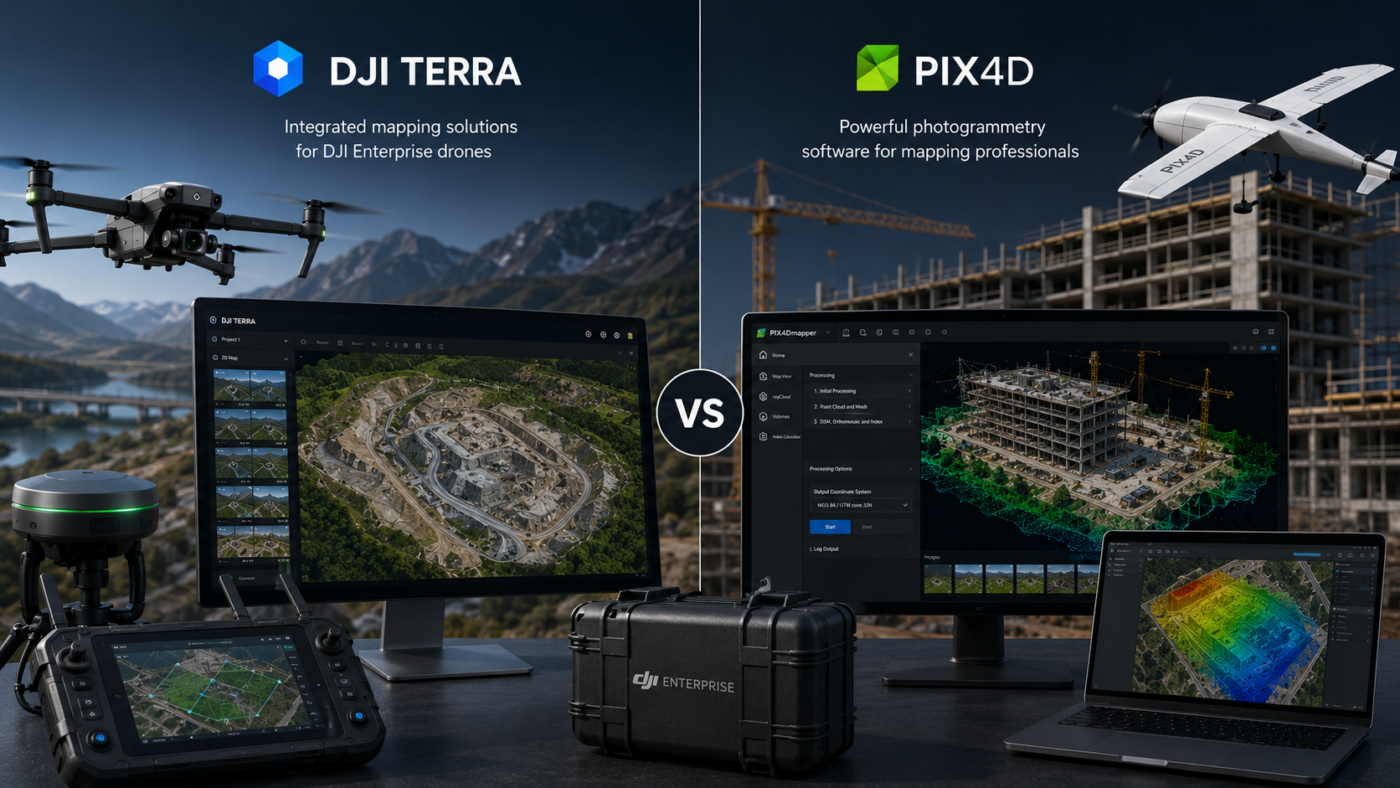
DJI Enterprise drone users often face an important software decision: should they process their mapping projects with DJI Terra or Pix4D? Both platforms are powerful, professional and widely used in drone mapping, surveying, construction, inspection, agriculture and geospatial workflows. However, they are built around different philosophies. DJI Terra is designed to work closely with DJI
Tag Archives: Software Comparisons
DJI Terra comparisons with Pix4D and Agisoft Metashape, plus guidance on choosing drone mapping software.
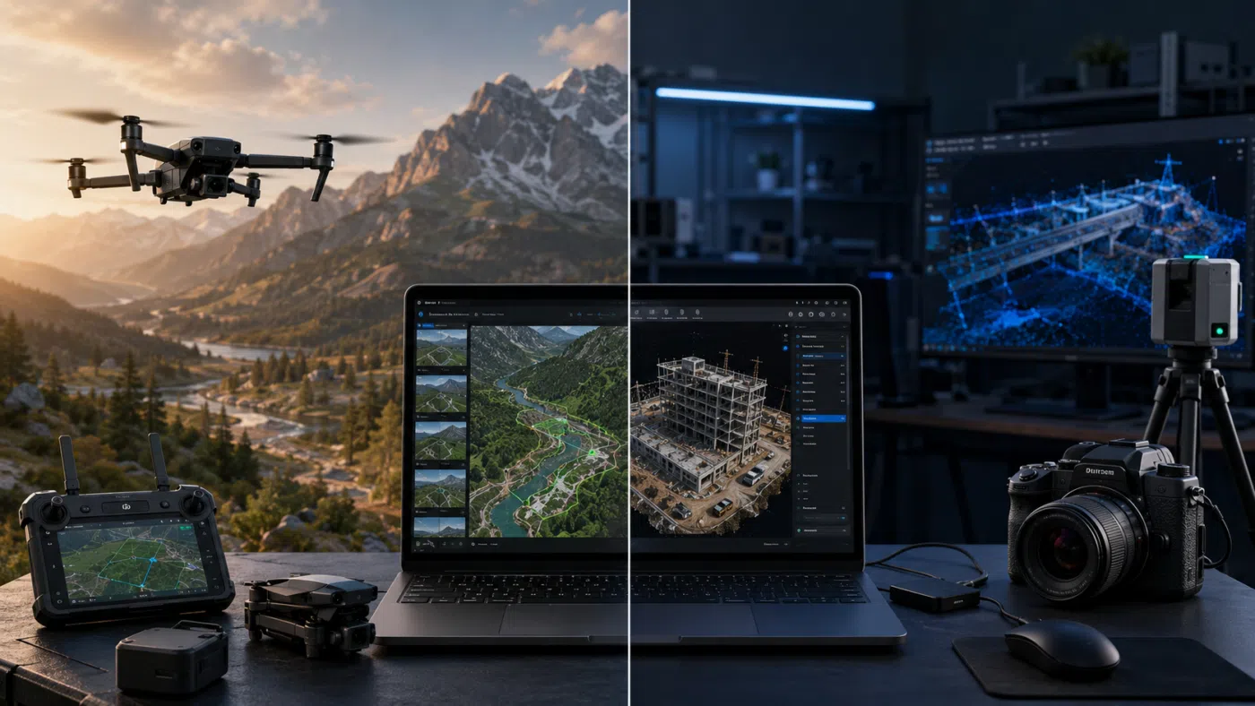
Choosing between DJI Terra and Agisoft Metashape is one of the most common decisions for drone mapping professionals, surveyors, construction companies, inspection teams and geospatial service providers. Both software solutions can transform drone data into valuable digital outputs, but they are not designed with exactly the same philosophy. DJI Terra is strongly connected to the
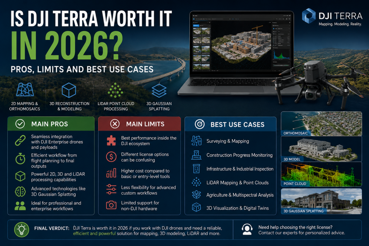
DJI Terra has become one of the most important software solutions for professionals working with DJI drones, aerial mapping, 3D reconstruction, LiDAR data and digital site documentation. In 2026, the question is no longer simply whether DJI Terra can create maps or 3D models. The real question is whether DJI Terra is worth the investment