

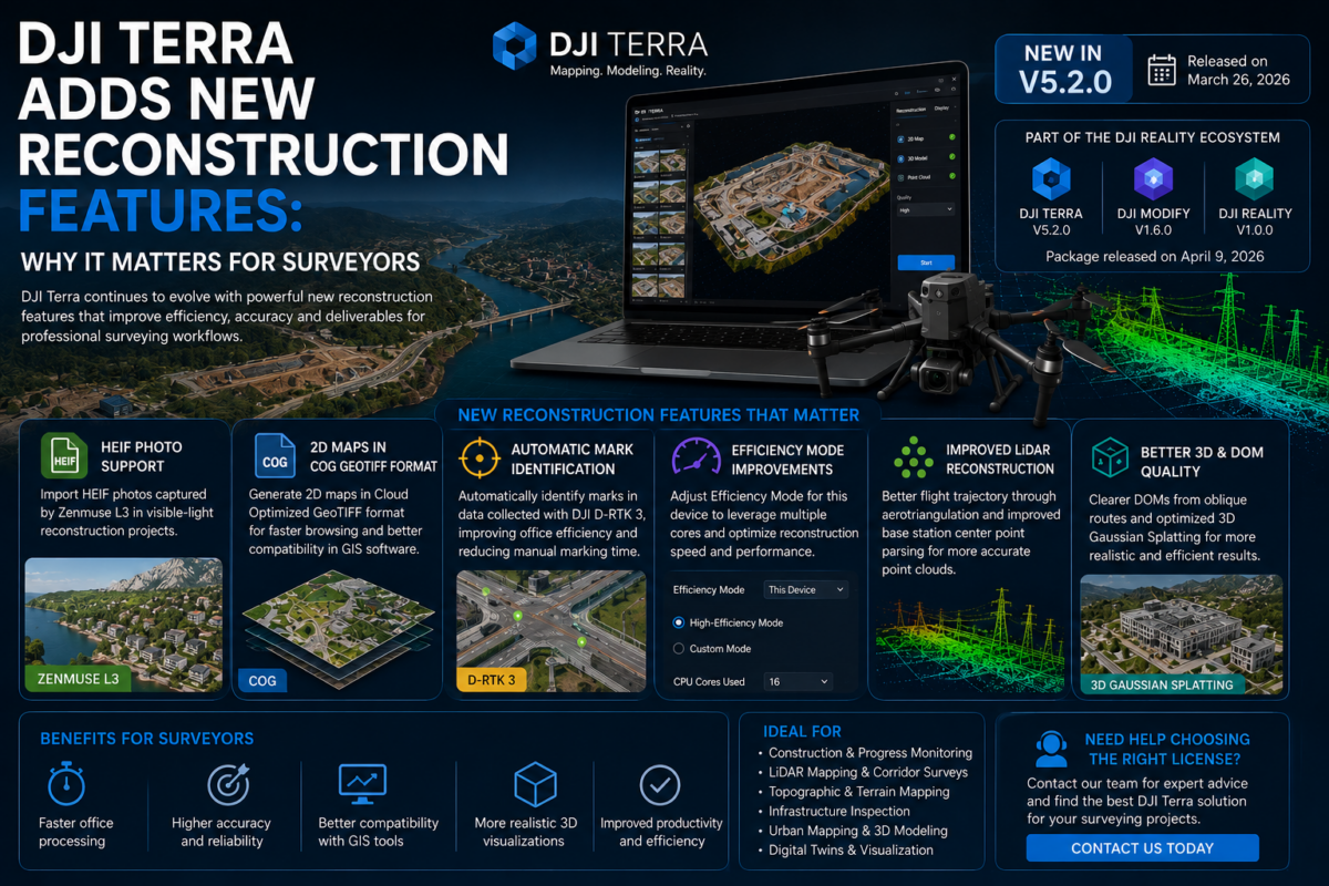
DJI Terra continues to evolve from a drone mapping application into a more complete reconstruction platform for surveyors, engineers, construction companies, inspection teams and enterprise drone operators. For professionals who rely on drone data to produce orthomosaics, 3D models, point clouds, terrain outputs and inspection-ready deliverables, every improvement in reconstruction technology can have a direct
Tag Archives: Software Updates
DJI Terra software releases, new reconstruction features and changes affecting drone mapping workflows.
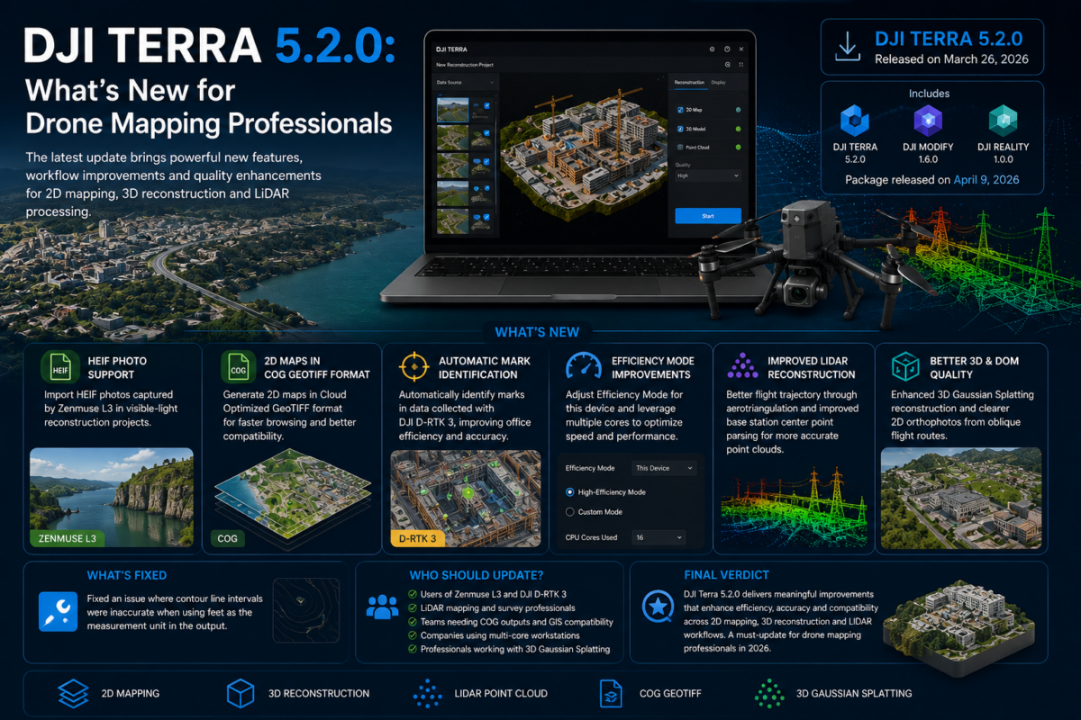
DJI Terra 5.2.0 is an important update for drone mapping professionals, surveyors, LiDAR users, inspection teams and companies working inside the DJI Enterprise ecosystem. Released in March 2026, this version introduces several practical improvements that can directly affect daily production workflows, especially for users working with Zenmuse L3 data, LiDAR point clouds, 2D map outputs,