

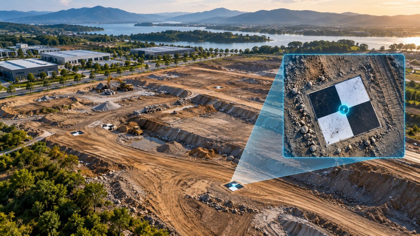
Prepare and import DJI Terra GCP files, check column mapping and coordinate references, mark image observations and review control points separately from checkpoints.
Tag Archives: Drone Mapping
DJI Terra drone mapping applications, surveying workflows, construction monitoring and agricultural mapping.
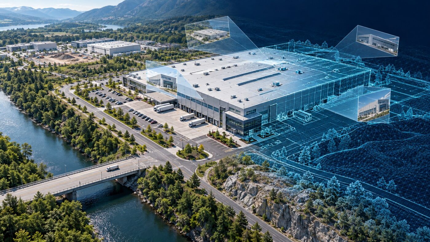
Plan and process Zenmuse P1 imagery with DJI Terra, from lens and capture choices to source-file checks, reconstruction, validation and handover.
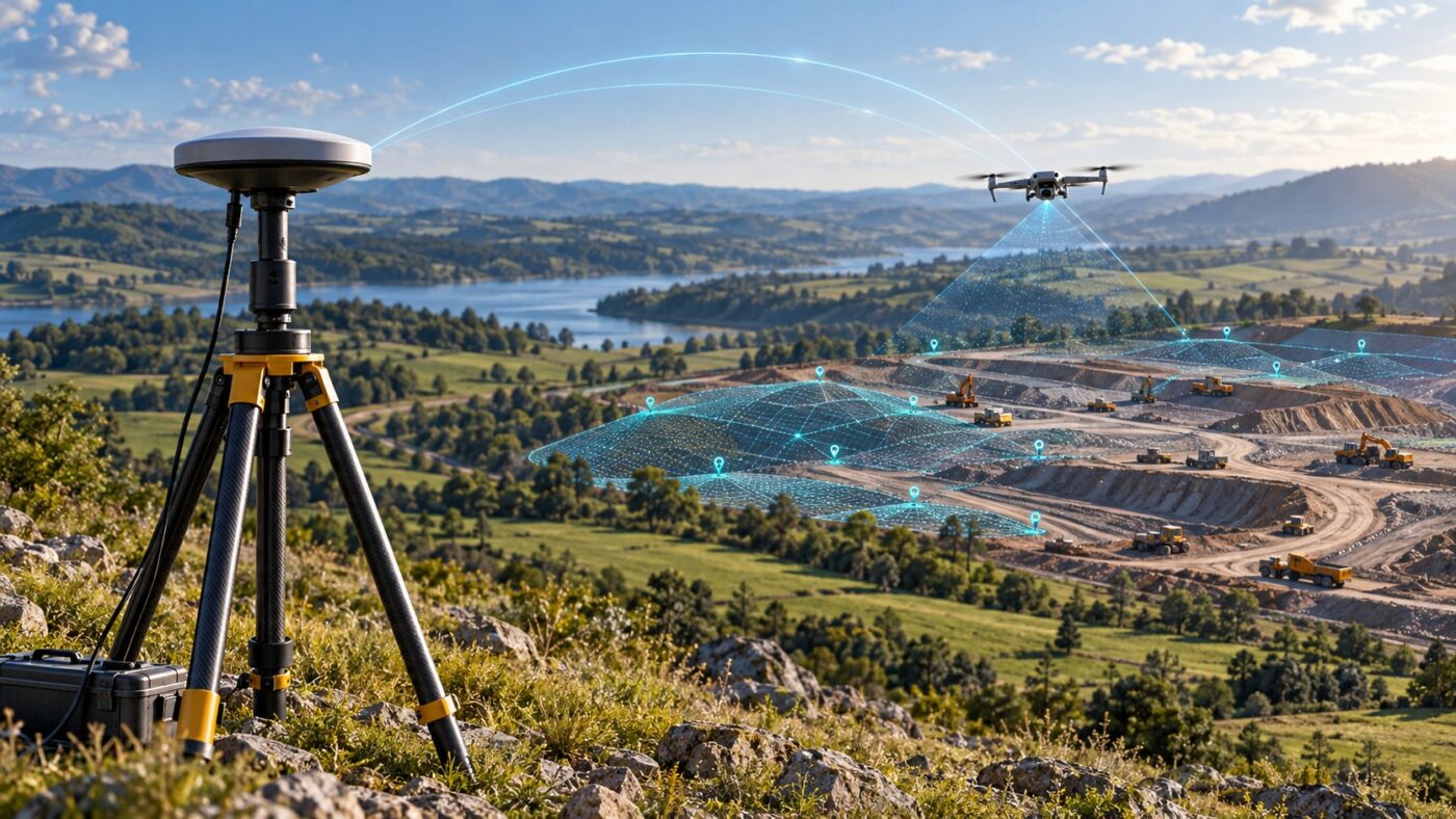
Prepare DJI Terra PPK processing with practical checks for drone recordings, base data, timestamps, coordinate references and independent validation.
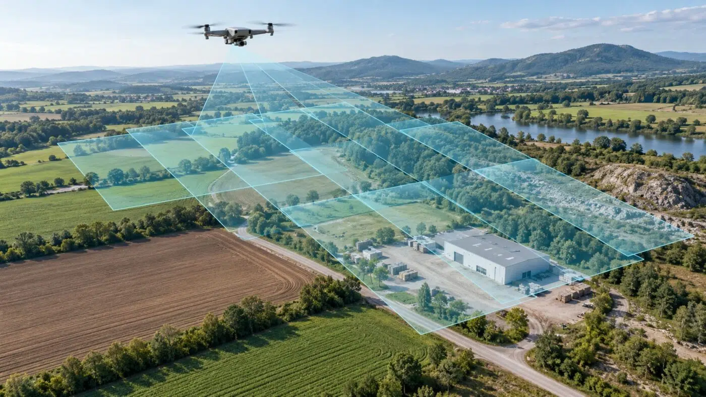
Plan better images for DJI Terra with clear explanations of GSD, flight height, image overlap and sharpness, plus practical numerical examples.
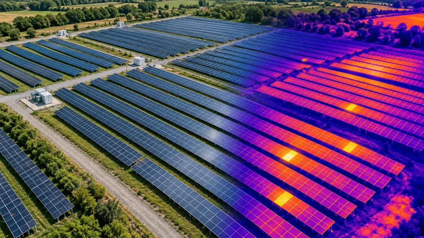
Explore DJI Terra thermal mapping, from paired RGB and thermal capture to temperature analysis, solar inspection checks and a useful reporting workflow.
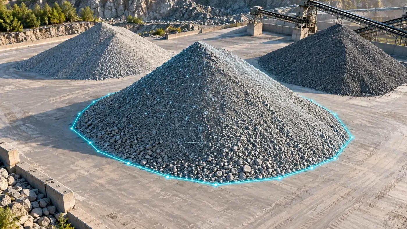
Measure stockpile volumes with DJI Terra: plan the survey, select the base plane, validate quantities and prepare a repeatable inventory report.
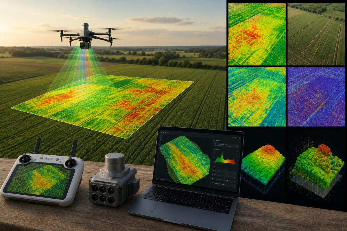
DJI Terra is not only a drone mapping and 3D reconstruction platform for surveying, construction and infrastructure. It can also play an important role in precision agriculture, especially when used with multispectral drones such as the DJI Mavic 3 Multispectral or Phantom 4 Multispectral. For farmers, agronomists, cooperatives and agricultural drone service providers, DJI Terra
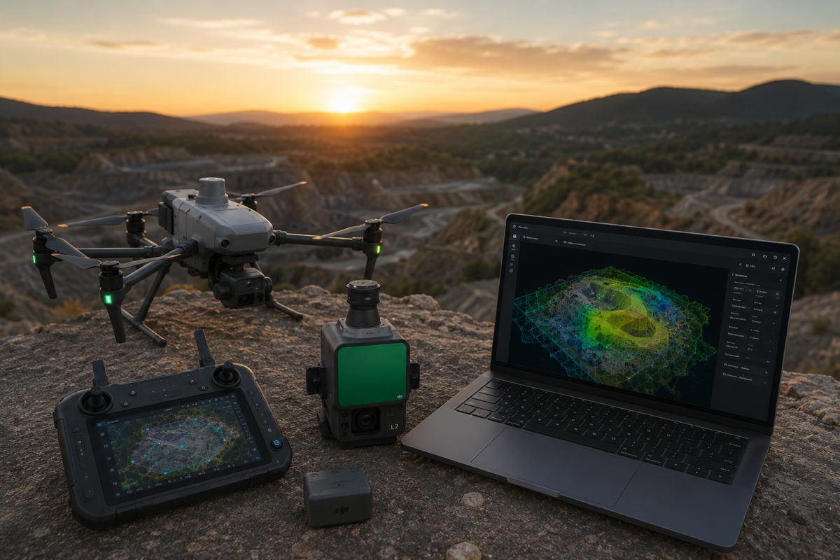
The DJI Matrice 4E is one of the most important compact enterprise drones for professional mapping, surveying, construction and mining workflows. Designed specifically for geospatial applications, it combines a mapping-oriented camera system, mechanical shutter, RTK capability and intelligent flight features in a portable platform. When paired with DJI Terra, the Matrice 4E becomes a powerful
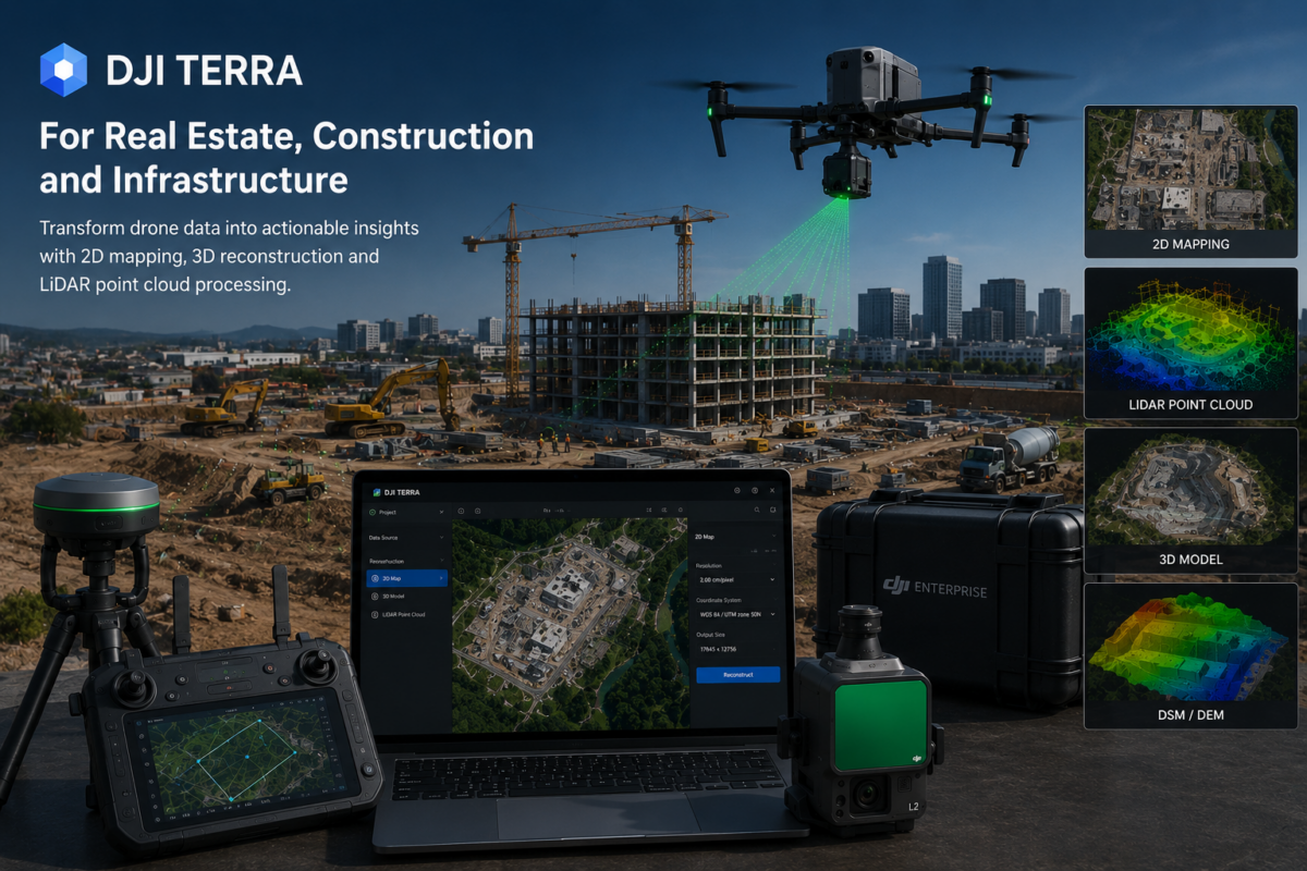
DJI Terra is becoming one of the most useful software platforms for professionals who need to transform drone data into practical digital deliverables. For real estate developers, construction companies, engineering firms, infrastructure operators and drone service providers, DJI Terra can help convert aerial imagery and LiDAR data into 2D maps, 3D models, point clouds, terrain
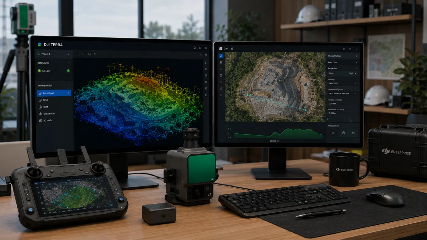
DJI Terra has become one of the most important software platforms for professionals using DJI drones in surveying, mapping, construction, infrastructure inspection, mining, forestry and 3D reconstruction. As DJI continues to improve Terra with 2D mapping, 3D reconstruction, LiDAR point cloud processing, 3D Gaussian Splatting and integration with DJI Modify and DJI Reality, many professionals
- 1
- 2