

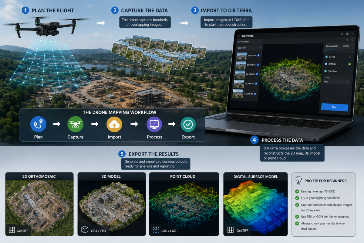
Drone mapping can seem complex at first. A drone flies over an area, captures hundreds or thousands of images, and somehow those images become an accurate 2D map, a 3D model, a point cloud or a digital reconstruction of the real world. For beginners, the process may look almost automatic, but professional drone mapping is
Author Archives: Drone Emotions Team
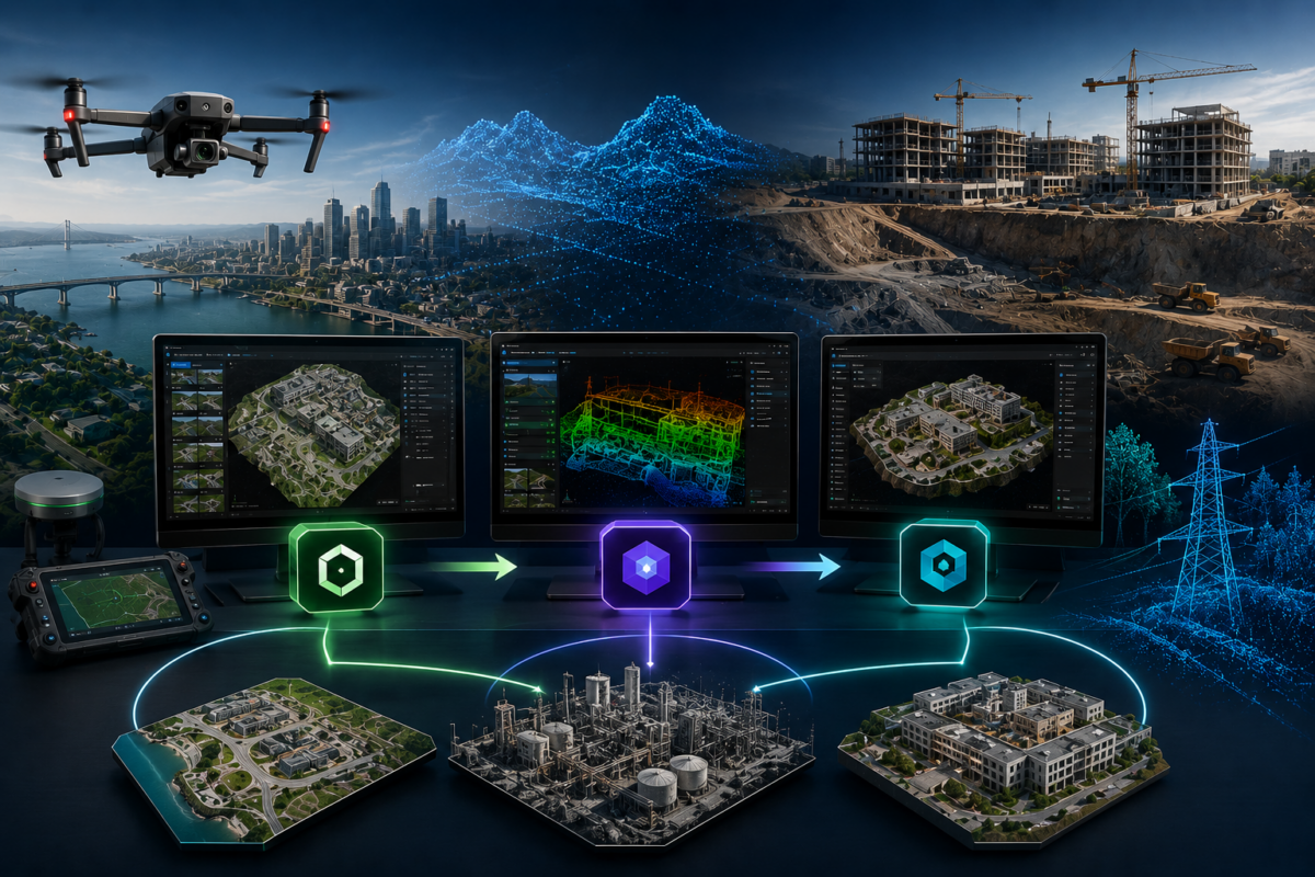
DJI is no longer focused only on drones. In 2026, the company is increasingly building a complete ecosystem for drone mapping, 3D reconstruction, model editing and visualization. With DJI Terra, DJI Modify and DJI Reality, the workflow is becoming much broader than simple flight planning or orthomosaic generation. DJI appears to be moving toward a
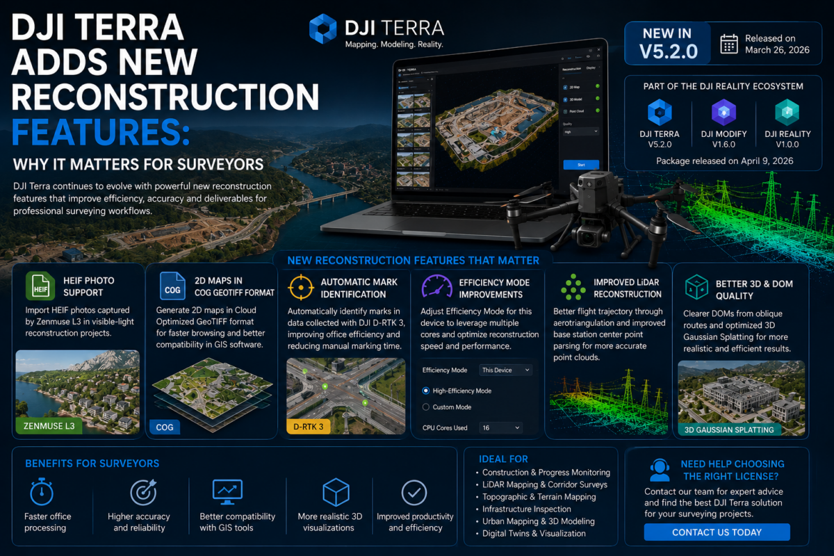
DJI Terra continues to evolve from a drone mapping application into a more complete reconstruction platform for surveyors, engineers, construction companies, inspection teams and enterprise drone operators. For professionals who rely on drone data to produce orthomosaics, 3D models, point clouds, terrain outputs and inspection-ready deliverables, every improvement in reconstruction technology can have a direct
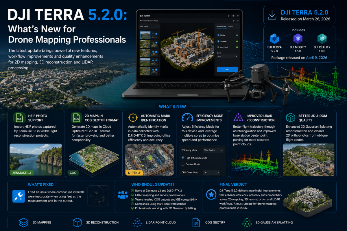
DJI Terra 5.2.0 is an important update for drone mapping professionals, surveyors, LiDAR users, inspection teams and companies working inside the DJI Enterprise ecosystem. Released in March 2026, this version introduces several practical improvements that can directly affect daily production workflows, especially for users working with Zenmuse L3 data, LiDAR point clouds, 2D map outputs,
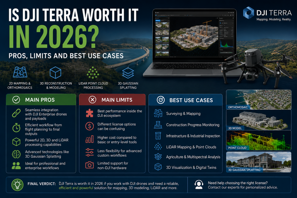
DJI Terra has become one of the most important software solutions for professionals working with DJI drones, aerial mapping, 3D reconstruction, LiDAR data and digital site documentation. In 2026, the question is no longer simply whether DJI Terra can create maps or 3D models. The real question is whether DJI Terra is worth the investment
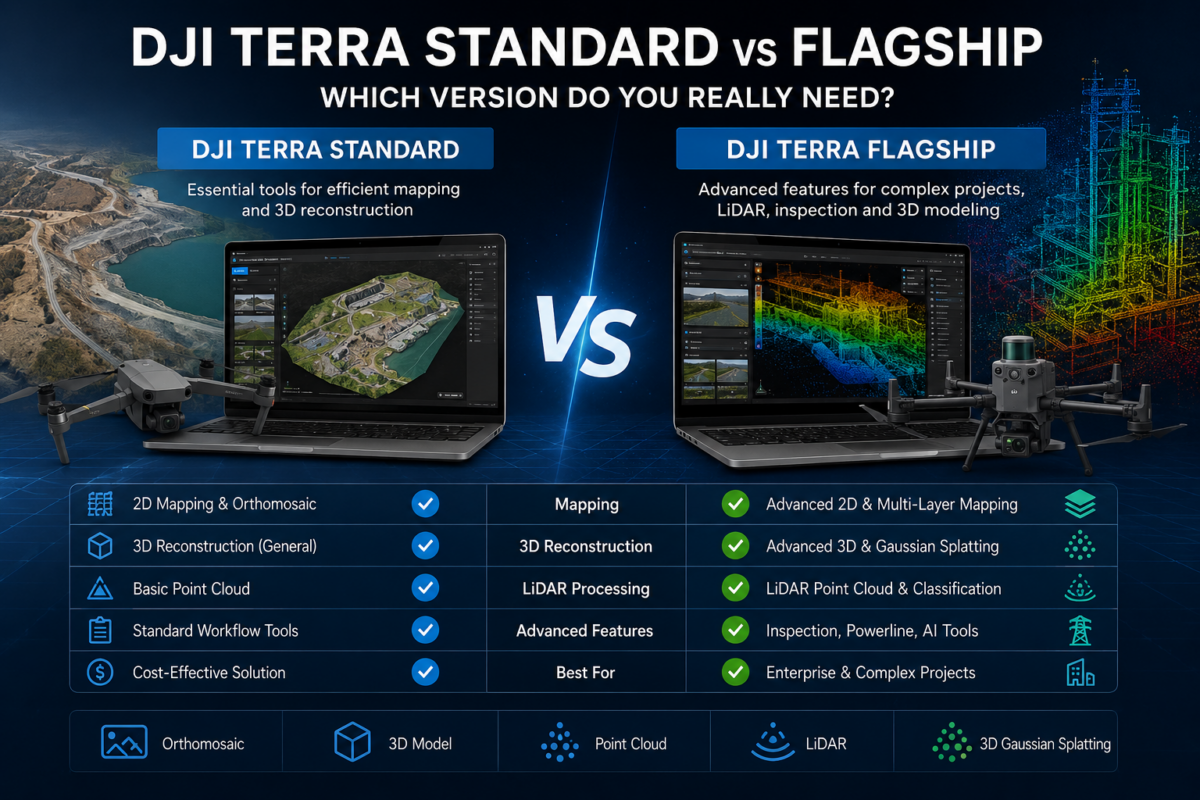
DJI Terra edition comparison Standard or Flagship? Start with your deliverables. Choose DJI Terra Standard for established mapping and mesh workflows. Compare DJI Terra Flagship when you need photo-based Gaussian Splatting or DJI’s Electricity Application. A larger project or a construction client does not, by itself, make Flagship necessary. View DJI Terra licensesAsk which edition