

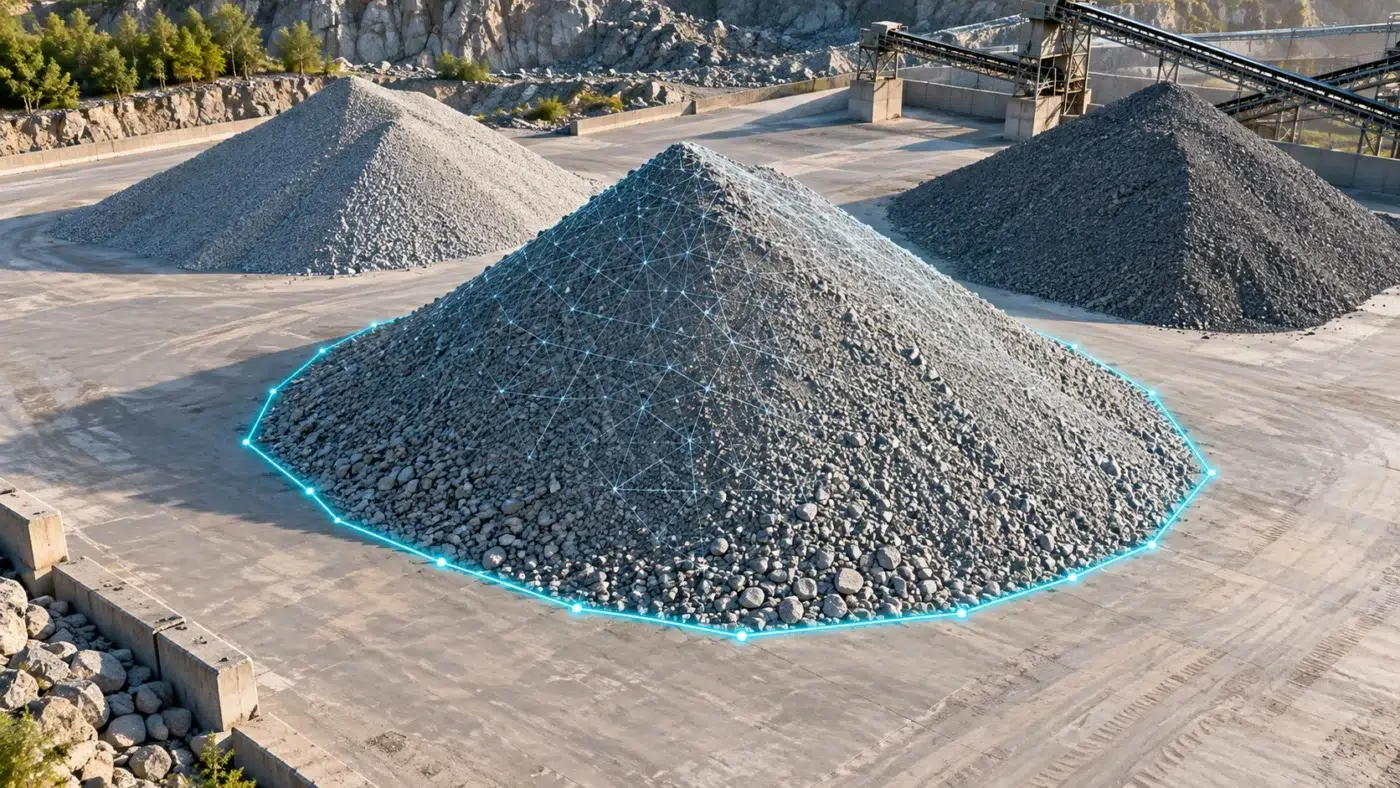
Measure stockpile volumes with DJI Terra: plan the survey, select the base plane, validate quantities and prepare a repeatable inventory report.
Category Archives: DJI Terra

Understand DJI Terra coordinate systems, EPSG codes and geoid heights, with a practical checklist for GCP references and shifted survey outputs.
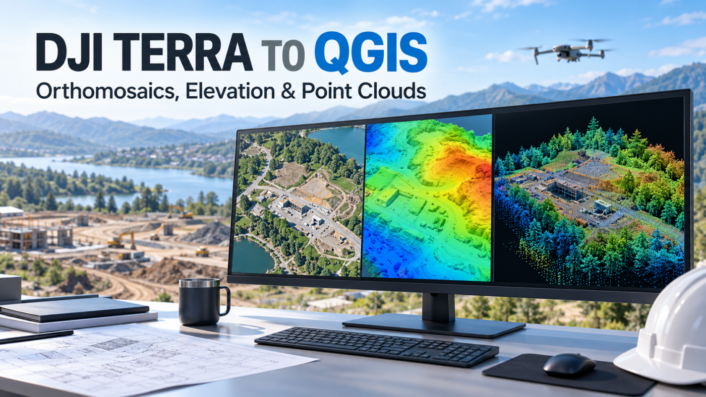
Learn how to import DJI Terra orthomosaics, DSM rasters and LAS point clouds into QGIS, with coordinate checks and practical troubleshooting tips.
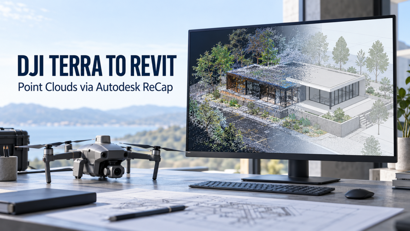
A practical DJI Terra to Revit workflow covering LAS export, ReCap indexing, RCP and RCS files, coordinate checks and a reliable BIM handover.
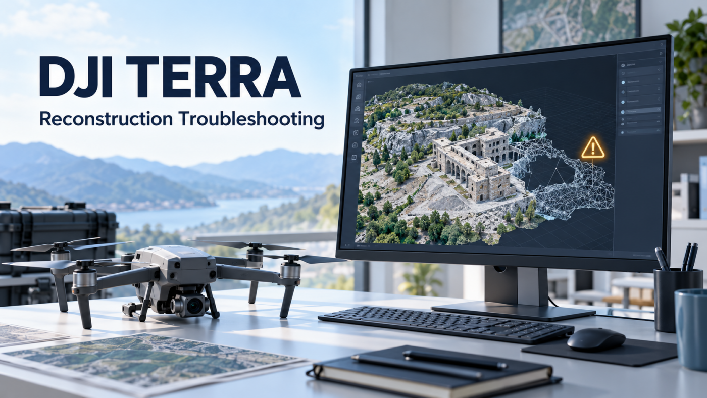
Practical checks for DJI Terra reconstruction errors, insufficient VRAM, memory shortages, missing images and LiDAR warnings, with guidance on logs and support.
Understand DJI Terra Pro legacy licenses, the transition to Standard and what to check before updating, renewing or purchasing a license.
Can DJI Terra run on a Mac? Understand macOS compatibility, virtual machines, Windows workstation requirements and practical options for Mac-based mapping teams.

Learn what is free in DJI Terra, how the trial works and when LiDAR processing or photogrammetry requires a paid software license.
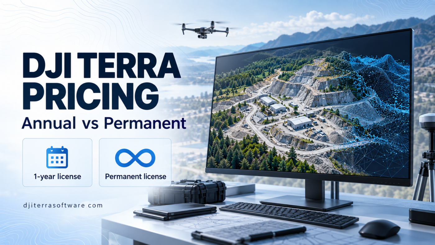
Compare DJI Terra annual and permanent license costs. Understand pricing, updates and deployment options before choosing a license for your drone mapping business.
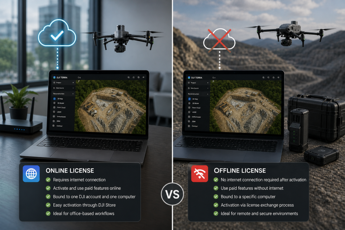
Choosing between a DJI Terra offline license and an online license is an important decision for companies using DJI Terra for drone mapping, surveying, construction, infrastructure inspection, LiDAR processing, agriculture or 3D reconstruction. The difference is not only about activation. It affects internet requirements, device binding, security policies, IT management, remote operations and long-term workflow