


Prepare DJI Terra cluster reconstruction with a practical guide to controller and worker roles, shared storage, LAN paths, software versions and pilot testing.
Category Archives: DJI Terra
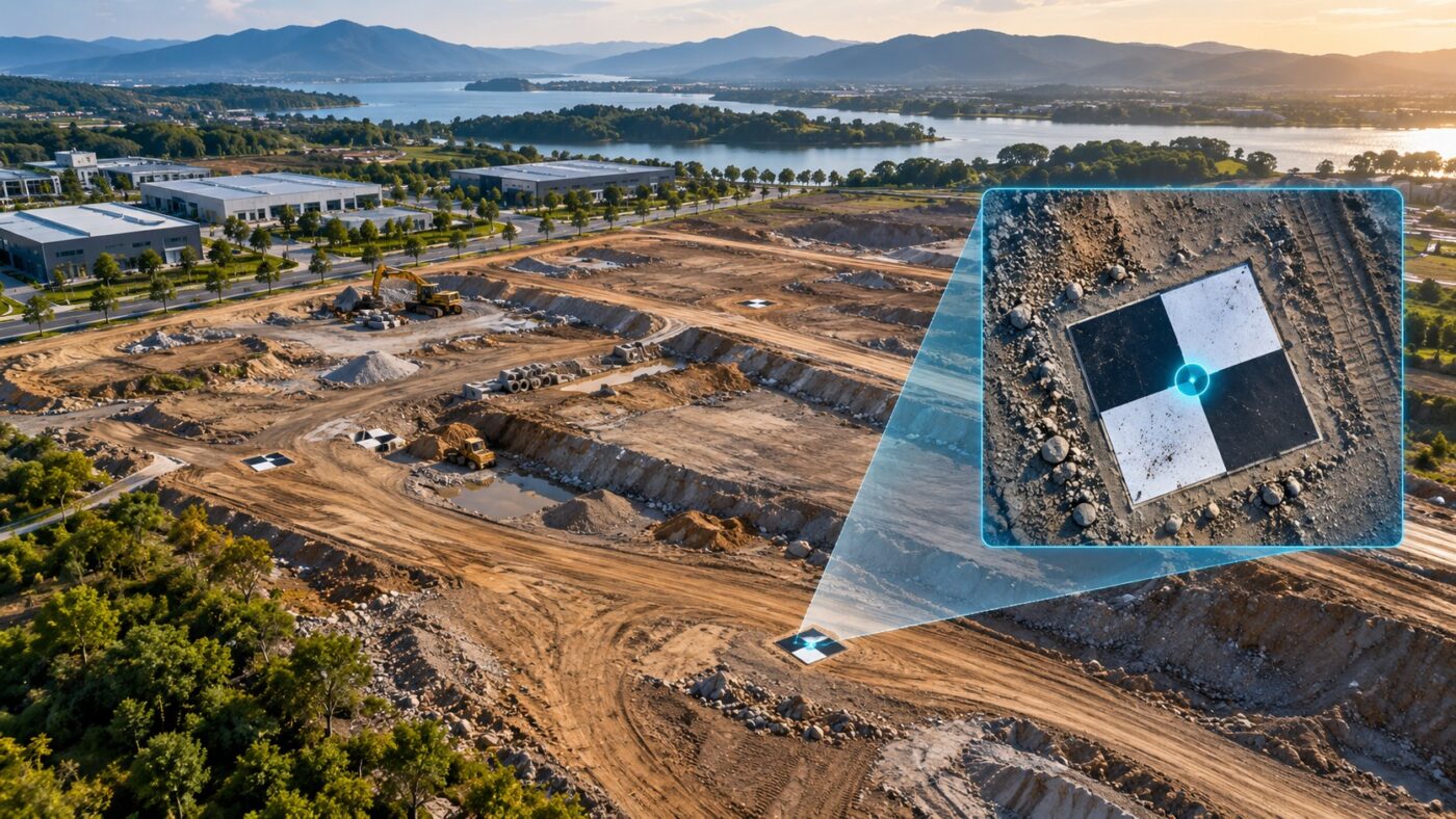
Prepare and import DJI Terra GCP files, check column mapping and coordinate references, mark image observations and review control points separately from checkpoints.
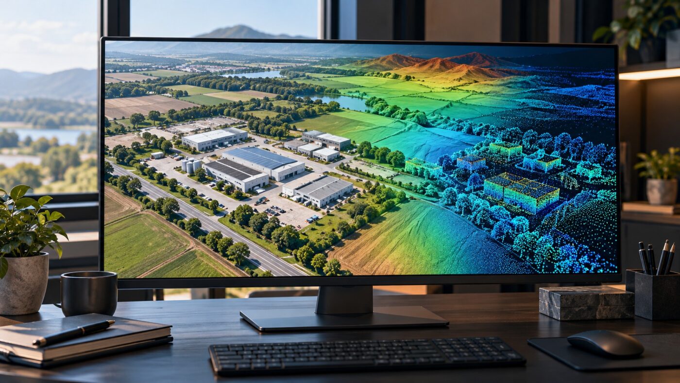
Bring DJI Terra orthomosaics, elevation rasters and LAS point clouds into ArcGIS Pro, with practical import steps, coordinate checks and handover guidance.

Plan and process Zenmuse P1 imagery with DJI Terra, from lens and capture choices to source-file checks, reconstruction, validation and handover.
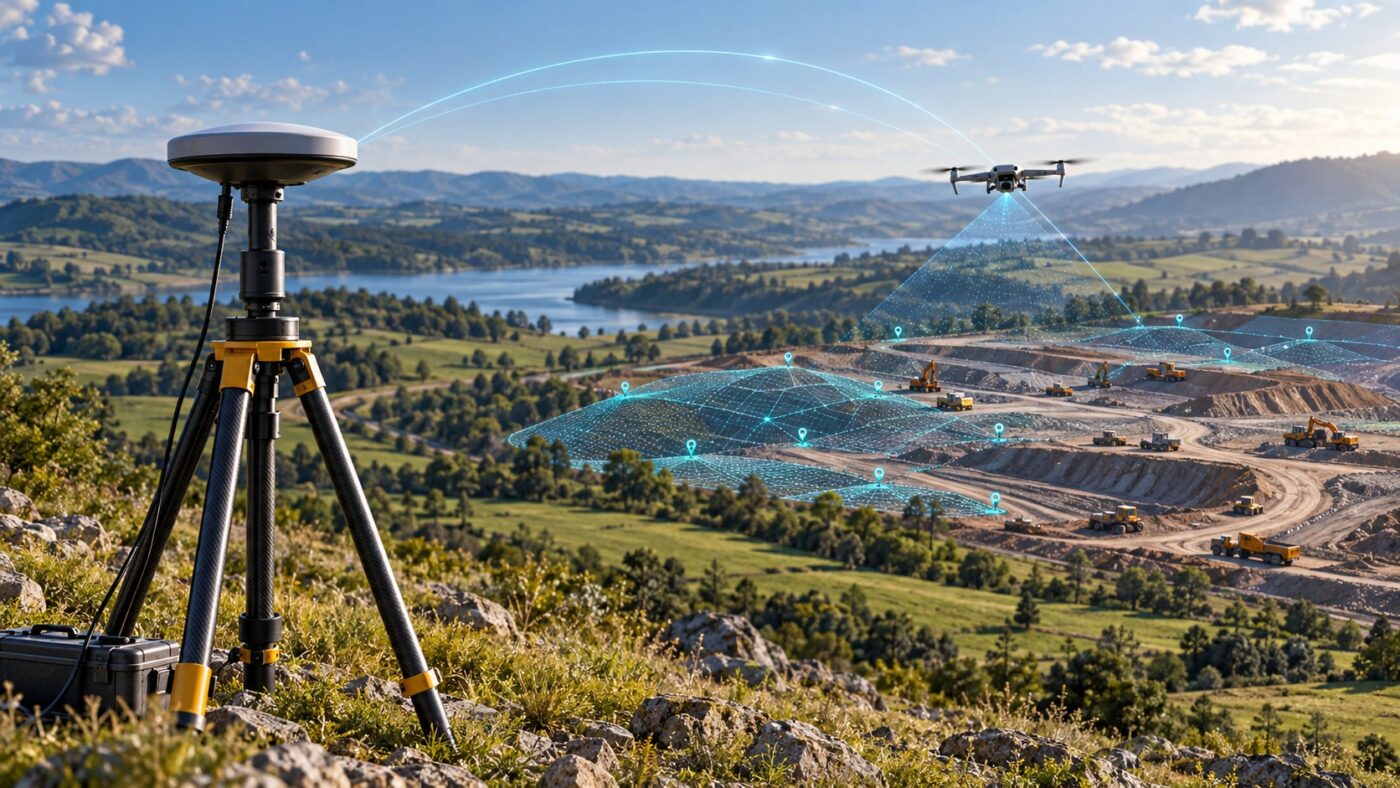
Prepare DJI Terra PPK processing with practical checks for drone recordings, base data, timestamps, coordinate references and independent validation.
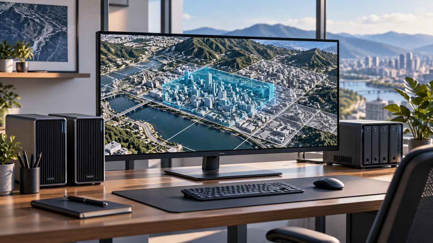
Improve DJI Terra processing efficiency with practical checks for hardware bottlenecks, storage, ROI, output settings and cluster reconstruction.
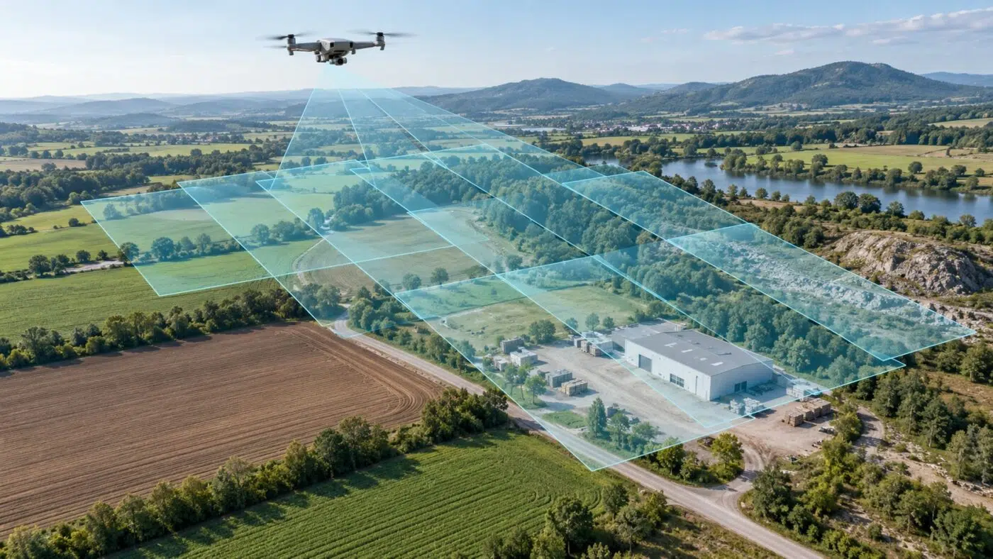
Plan better images for DJI Terra with clear explanations of GSD, flight height, image overlap and sharpness, plus practical numerical examples.
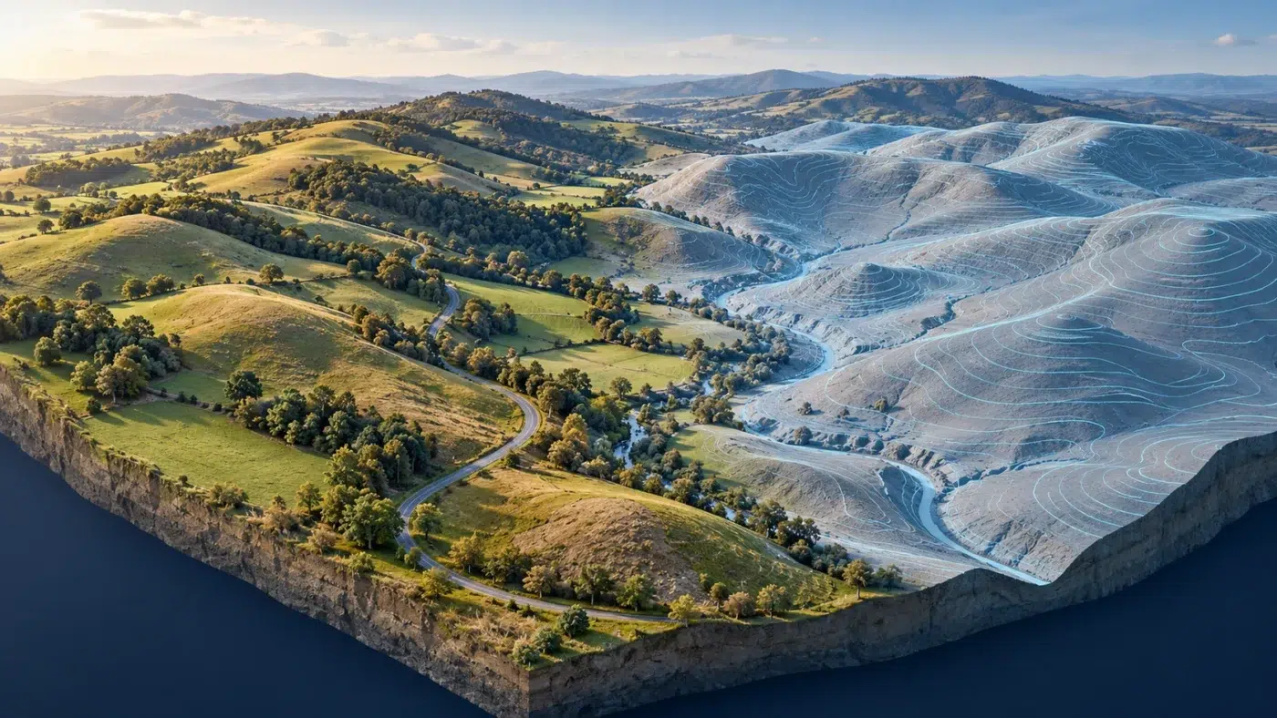
Create contour lines from DJI Terra elevation data with a practical guide to ground classification, contour intervals, QGIS extraction and GIS/CAD handover.
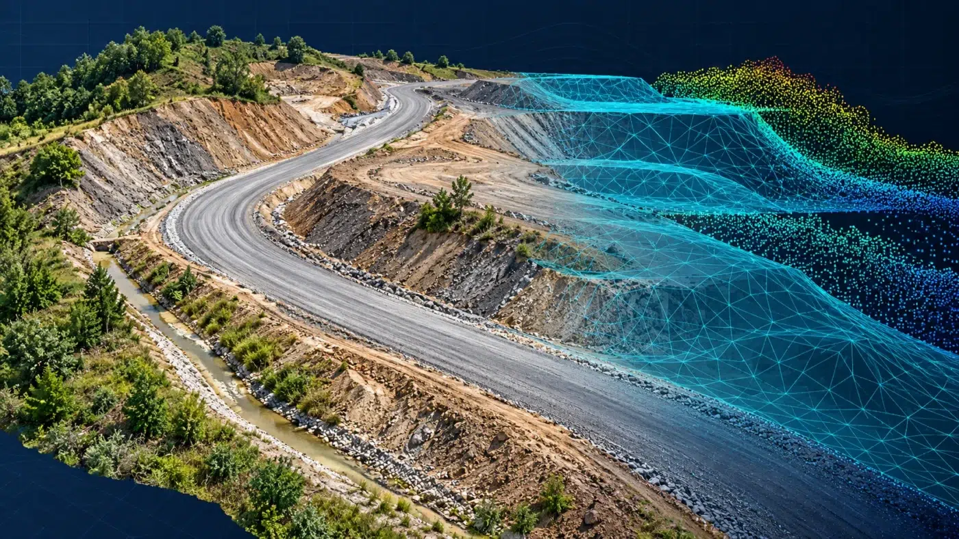
Bring DJI Terra point clouds into AutoCAD Civil 3D through ReCap, then create and check a terrain surface with a practical handover checklist.
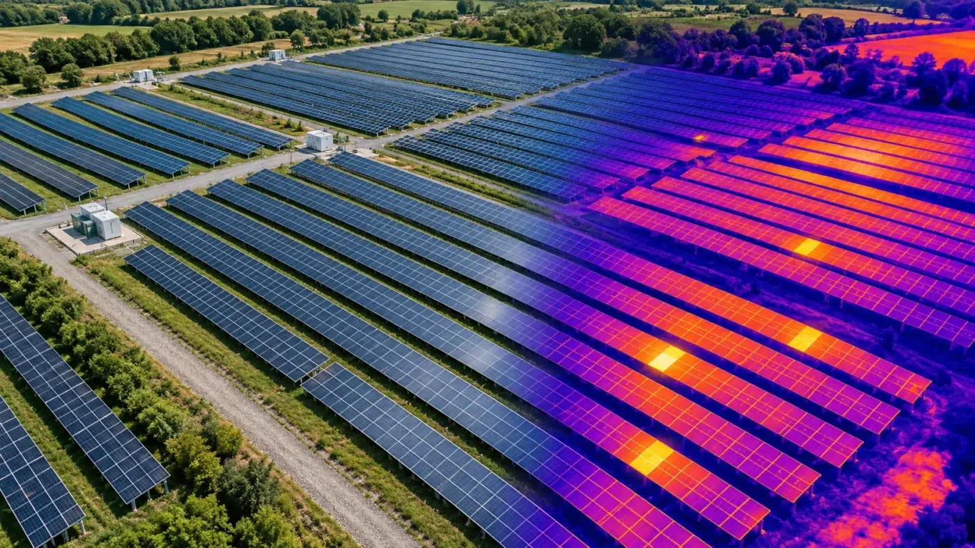
Explore DJI Terra thermal mapping, from paired RGB and thermal capture to temperature analysis, solar inspection checks and a useful reporting workflow.